Winter storm weather net activation
DeKalb ARES opened a weather net during the second winter storm to hit DeKalb County in eight days — a fast-deepening Nor'easter / bomb cyclone (unofficially "Winter Storm Gianna") that brought extreme cold and snow on top of the previous week's ice. Net Control monitored conditions and relayed storm reports on the primary repeater while a statewide State of Emergency was in effect.
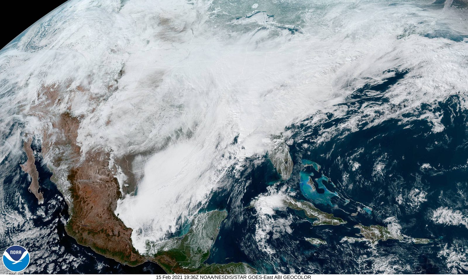
The storm
The January 30–February 1, 2026 system was a rapidly intensifying Nor’easter / bomb cyclone, unofficially named “Winter Storm Gianna” by The Weather Channel. It rolled across the Southeast just days after the previous week’s ice storm, compounding an already-stressed regional response with extreme cold and snowfall on top of pre-existing ice damage.
Governor Brian Kemp declared a statewide State of Emergency on January 30 running through February 6 — covering price-gouging protections, suspended hours-of-service rules for commercial drivers supporting the response, and increased weight/length limits for trucks moving essential supplies.
DeKalb County impacts
- ~4,921 power outages in DeKalb County by 8:45 PM on January 31 (out of about 11,569 across North Georgia at that hour)
- DeKalb activated its winter-weather response under the statewide SOE
- 500+ flights cancelled at Hartsfield-Jackson by 10:45 AM on January 31; multiple crashes on metro highways including I-985
- Snowfall in the Atlanta area was modest (around an inch) but layered on top of the still-icy roads and trees from the previous week
What DeKalb ARES did
The net opened on the primary repeater as the system moved in and the temperature dropped fast on top of the residual ice surface. Net Control took weather observations from members across the county, monitored NWS Peachtree City for warning updates, and maintained situational awareness through the worst of the overnight cold.
Coming exactly six days after the January 24 ice-storm activation, this was the second back-to-back activation of the same week’s weather pattern — a cumulative-fatigue-on-the-power-grid scenario where a moderate snow event created outsized impacts because the trees and lines hadn’t recovered from the ice yet.
Sources:
- Gov. Kemp Declares New State of Emergency Ahead of Winter Storm — gov.georgia.gov
- Winter Storm Jan 2026 — GEMA/HS
- Kemp issues state of emergency as Georgia preps for snow, bitter cold — AJC
- 2026 Winter Storm Gianna: Friday updates — Rough Draft Atlanta
- January 30–February 1, 2026 winter storm — Wikipedia
- Winter Storm Watch expanded across metro counties — 11Alive